Exploring Shiloh Cemetery

I have ridden or driven past this sign on McHenry Road near Goshen many times. I’ve always wanted to stop and explore a cemetery that sits back in the woods like a long lost reminder of the past with history laying in the ground.

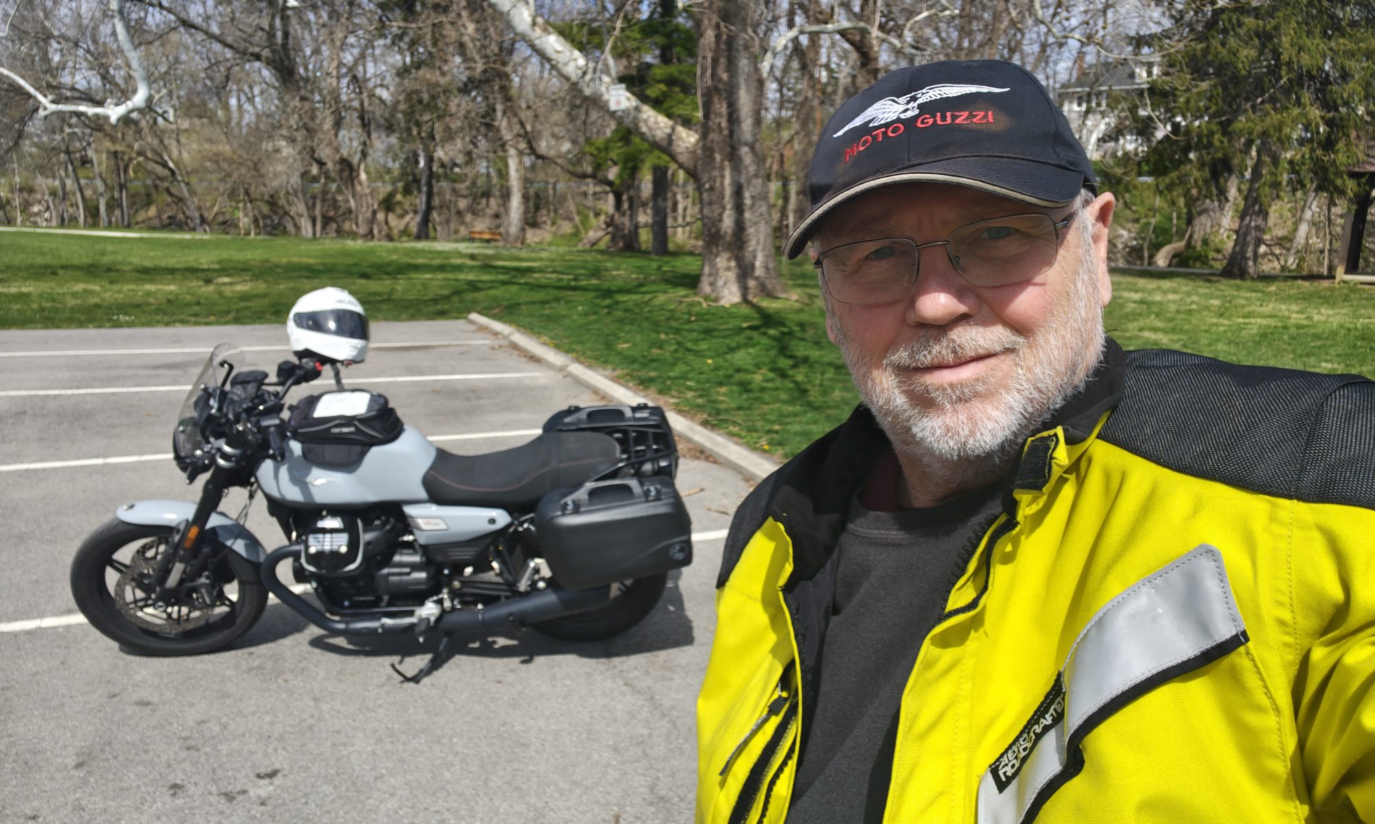
If you didn’t catch that sign driving past, you would never know it’s there. I parked the bike and prepared for a little hike.

A path passes next to the adjoining property traverses a small ravine, and then turns uphill. It’s a short walk that opens up on the cemetery, a serene spot on top of the hill. Surprisingly, the cemetery looks like it is being taken care of. No weeds or overgrowth. Grass trimmed.

This pioneer cemetery is not a large one, maybe an acre. No clear date when it was established, but believed to be in the mid 1800s. It was associated with the unincorporated village of Shiloh. Tombstones reveal mostly births and deaths in the 1800s. The latest one I could find was a burial in 1903.

I found one Civil War grave. There may be others, but I did not find any. The grave is marked with a Grand Army of the Republic badge, G.A.R 1861-1865, serving in the 2nd Ohio Cavalry.

It’s a peaceful experience to stroll through an old cemetery. To read the headstones that are still readable and wonder what their lives were like in the 1800s. What contributions did they do to serve others and community. So many stories to tell.

I walked back to the bike, pulled out on the road and turned towards home.

See you on the highway.

Brent

It was a surreal moment watching the Space Station fly over

Screenshot_20210916-210013
Screenshot of the ISS Detector app on my smart phone.

The night was perfect. Unusually clear sky. Stars shining brightly at about 9 p.m. The phone app, ISS Detector, had signaled the impending flyover of the International Space Station, and it was going to be almost directly overhead on an arc from horizon to horizon for about five minutes.

I stood in my backyard, phone in hand, watching the image of an approaching Space Station coming closer and closer to my viewing spot. And then, there it was rising above the trees, ascending into better view. It shines because its height above the earth is actually reflecting the sunshine off its surface.

Seven astronauts doing their space thing flying along at about 17,000 miles per hour, with all that technology and science. I am in awe to be able to watch such an event. It gets me every time, and this one was perfect.

About one mile away, workers and volunteers were still setting up for the annual Farm Club Antique Tractor Show. I guess tractors were still arriving and being moved into their places for display even at that hour. I could hear the deep chug of a tractor being moved, the kind of sound that only an antique tractor can make. It’s not a smooth whir of an engine, but a deep, single sound of an engine: chug…chug…chug…chug.

Antique Tractors 9-17-2021-1
Could this be the tractor I heard? It is an old steam engine tractor, the kind that sounds like what I heard, “chug…chug…chug.”

I listened to this tractor while watching the Space Station fly over, and it was such a contrast in technology. Overhead is this marvel of technology and science flying silently across the sky, and over at the farm, an antique tractor fills the air with its marvelous low-end mechanical sound. Viewing one and hearing the other was an observation in how far we have come as a civilization. It was surreal.

It is fun to watch such an event with others, to talk about that magnificent object flying overhead. We would have talked about the Space Station until it was out of sight. But, I was solo on this night. If there had been others, I might not have heard the antique tractor which made it surreal. Was being alone meant to be? Fate? Karma? Synchronicity? Perhaps.

I can’t wait until the next time the Space Station flies over.

See you on the highway. 

Brent

Motorcycling and abandoned airports

I’m a map guy. I love to study maps. Paper maps mostly, but the digital versions can be just as intriguing. There was an older BMW ad that I loved, even though I don’t own that brand of motorcycle it read: “My favorite author? Rand McNally.” That about says it right there.

Some time ago, I noticed on a paper map an airport that I had never seen. There it was on the map, and I have been past that location many times, but have never seen it. It even shows up on my Gaia GPS. The San Mar Gale Airport.

MC Ride 03-10-2021-2

Of course, the airport is closed now, and this is what it looks like from Waynesville Road nearest the end of what was the airstrip. The strip is just over the back end of my V-Strom.

MC Ride 03-10-2021-1

I had to do a little searching to find out that the airport was closed in the 1990s. It was probably a grass strip, which made it easy to convert to agriculture. It had an official airport designation, but I could not find a record of that.

There are a couple of other private, abandoned airfields in Warren County, and they most likely were on farms, much like this one. It is exploration like this, and detailed maps like the DeLorme Gazeteers and Gaia GPS that reveal opportunities for a motorcycle adventure.

See you on the highway.

Brent